Remote Sensing and GIS
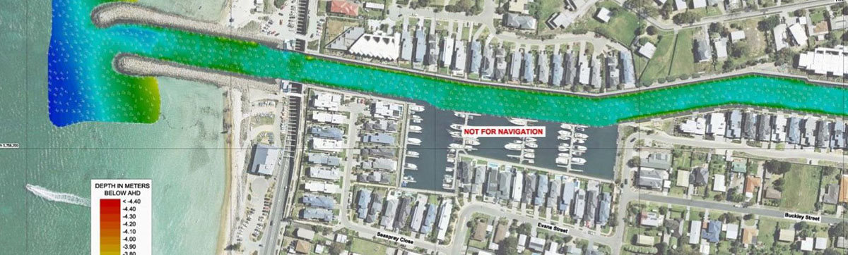
Key personnel engaged by Professional Marine Science Services have an extensive background in GIS geoprocessing, data management,map making and cartography. These capabilities are facilitated with a strong background using ArcGIS ESRI suite software for applications such as production of Digital Elevation Models (DEMs), seafloor change detection modelling and habitat mapping.
- Bathymetry seafloor mapping
- Biota and geophysical habitat mapping
- Seafloor change detection
- GIS capability training
- GIS Cartography and Reporting
- GIS geoprocessing and modelling